Mountain peaks to conquer, bush that calms you and crystal clear rivers and lakes to wade through – just over an hour’s drive south of Nelson.
The Nelson Lakes throws up an abundanct choice of walks amongst its beauty. My first challenge was deciding which walk to take on.
I went for the overnight trek to Angelus Hut via Mt Roberts Ridge.
I have a reasonable level of fitness but am fairly new to trekking (or tramping as Kiwis call it) so was setting myself up for a decent challenge.
According to the Department of Conservation (DOC), the Angelus Hut has a difficulty rating of, “Advanced”, and you’re required to be an “Expert” trekker – more on that later.
Start Climbing – Pinchgut
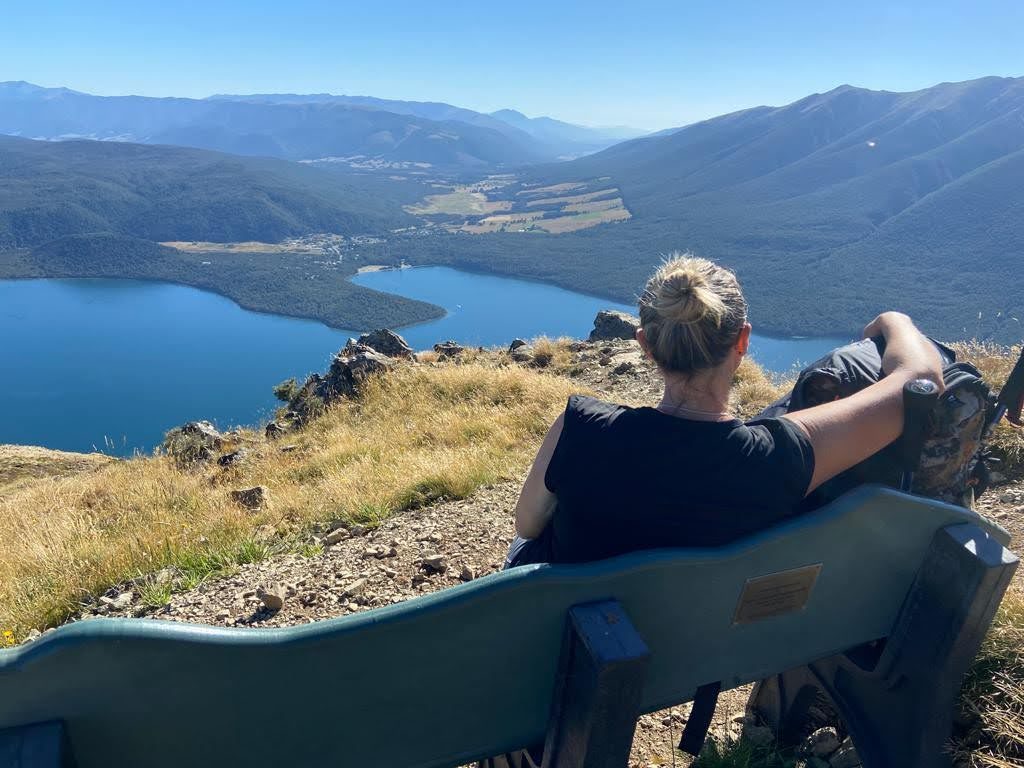
If you like a warm up before you climb I suggest star jumps in the car park. The climb begins straight away and is a hefty gradient the whole way to the top. The trail weaves it way in and out of forest to the top of the ridge with the views of Lake Rotoiti becoming more worthy of your energy output the higher you climb. This section is called Pinchgut.
To Go Onwards or Not
The Angelus Hut walk has laid claim to 51 search and rescue callouts and two fatalities over a 9 year period up until 2019. Check the weather forecast and turn back if you’re uncertain. There are a couple of signs along the first part of the track advising turning back – think carefully.
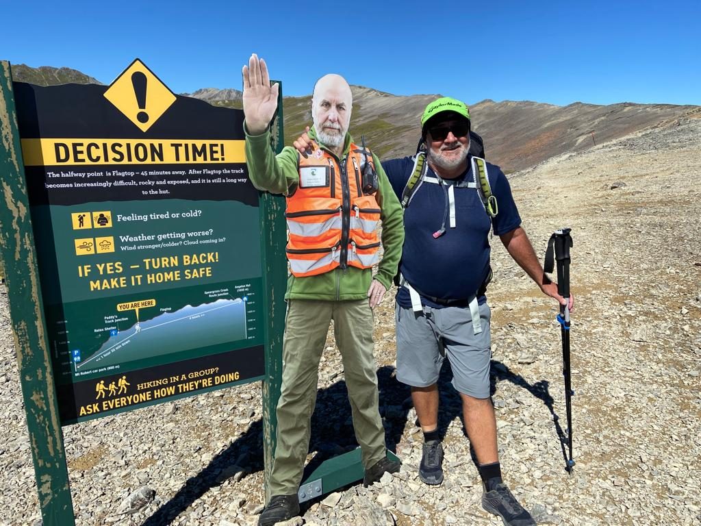
The Mt Robert ridge is very exposed with sudden wind gusts that can lift a person, loaded with a pack, off their feet. On certain parts of the ridge this could mean landing on the boulders beneath or on the scree that will happily slide you off down the mountainside with it.
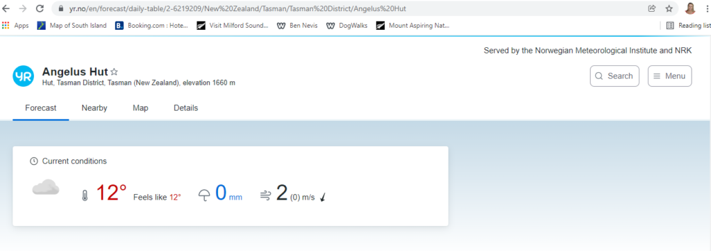
Big drops in temperature can happen amazing suddenly from comfortable to below zero. Yr is a suggestion for checking the weather:
Go light, very light
I planned, packed, unpacked and repacked multiples times before I set off with a 33 ltr backpack. Carry only what you need to keep yourself safe and ready for whatever the Alpine weather decides to throw at you. Recognize that nature is the boss and no matter how strong you believe yourself to be, you can’t beat it. But, you can go back and do the walk when the weather is being friendlier.
I took a friend with me but we also took a PLB (Personal Locator Beacon) https://www.locatorbeacons.co.nz/ in case things went pear-shaped. The ridge walk is quite technical regarding foot placement on the multiple sections of large boulder, rocks and sliding scree.
So, even though the weathers on your side, bad foot placement and resulting fall could still mean you need extraction by the rescue helicopter.
Up and over Mt Roberts Ridge
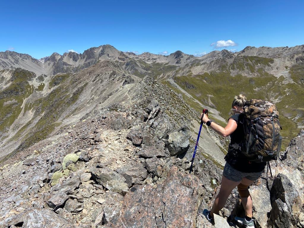
This walk is about ensuring your foot-placement is spot on while taking in the vast vista of mountains surrounding the one you’re climbing across. But that’s in the distance. On either side of the ridge as you climb and descend are the slopes of the ridge falling away beneath you.
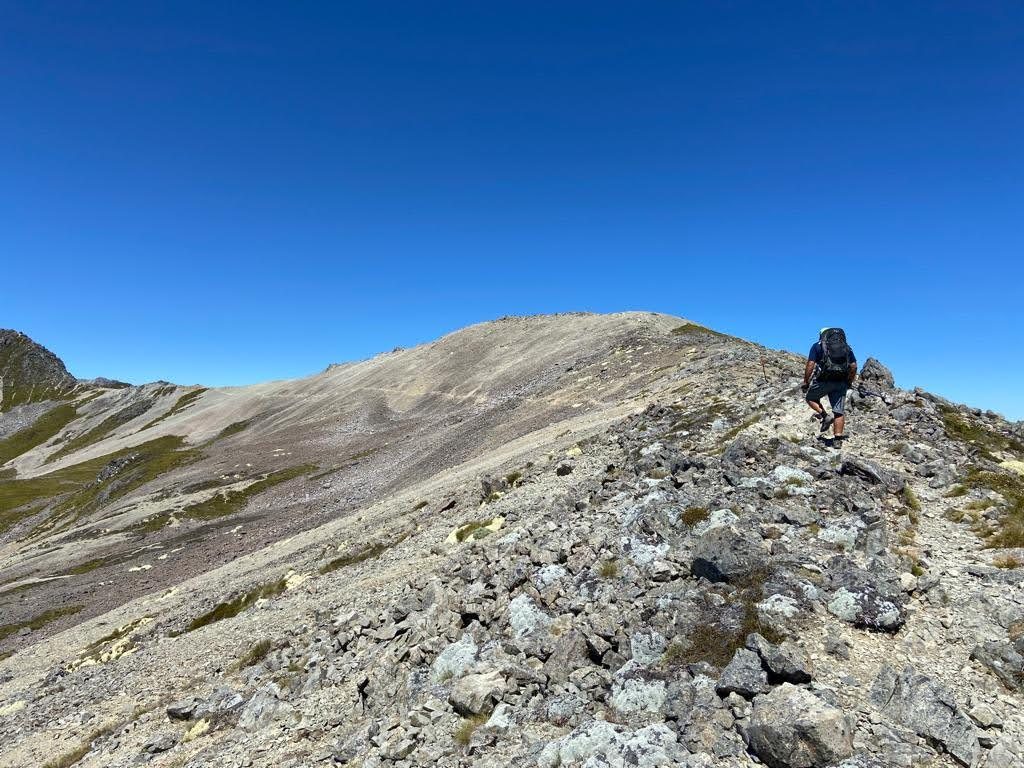
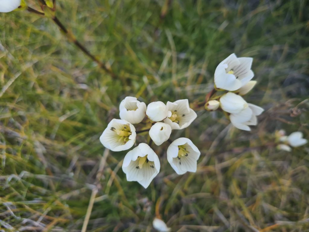
It’s craggy, rocky territory but if you stop and bend down, you’ll notice it’s full of life. Chirpy crickets keep company at your feet where the alpine fauna muscles its way out from between the rocks.
Trampers experienced with this type of terrain probably power across the rocky sections of this walk, of which there are many. We took our time, ensuring each step was onto a secure rock and used our poles to help keep balance. The mind power required for concentration adding to the energy needed to do the climbing. None, of the climbing was anywhere as taxing as Pinchgut however.
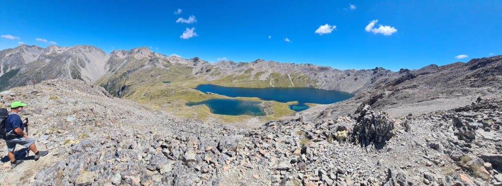
Mt Roberts Ridge incorporates 4 basins, which include in their folds an old ski field and tarns dotted about. Easily identifiable on either side of the ridge because of their deep aquamarine colouring.
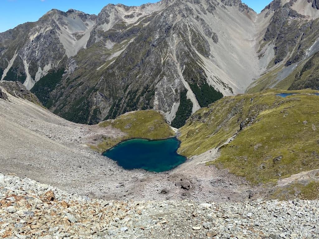
Two of the more difficult sections of the track are around Julius Summit and the 4th basin where the track narrows considerably. The latter is also the highest point of the ridge at 1800 metres.
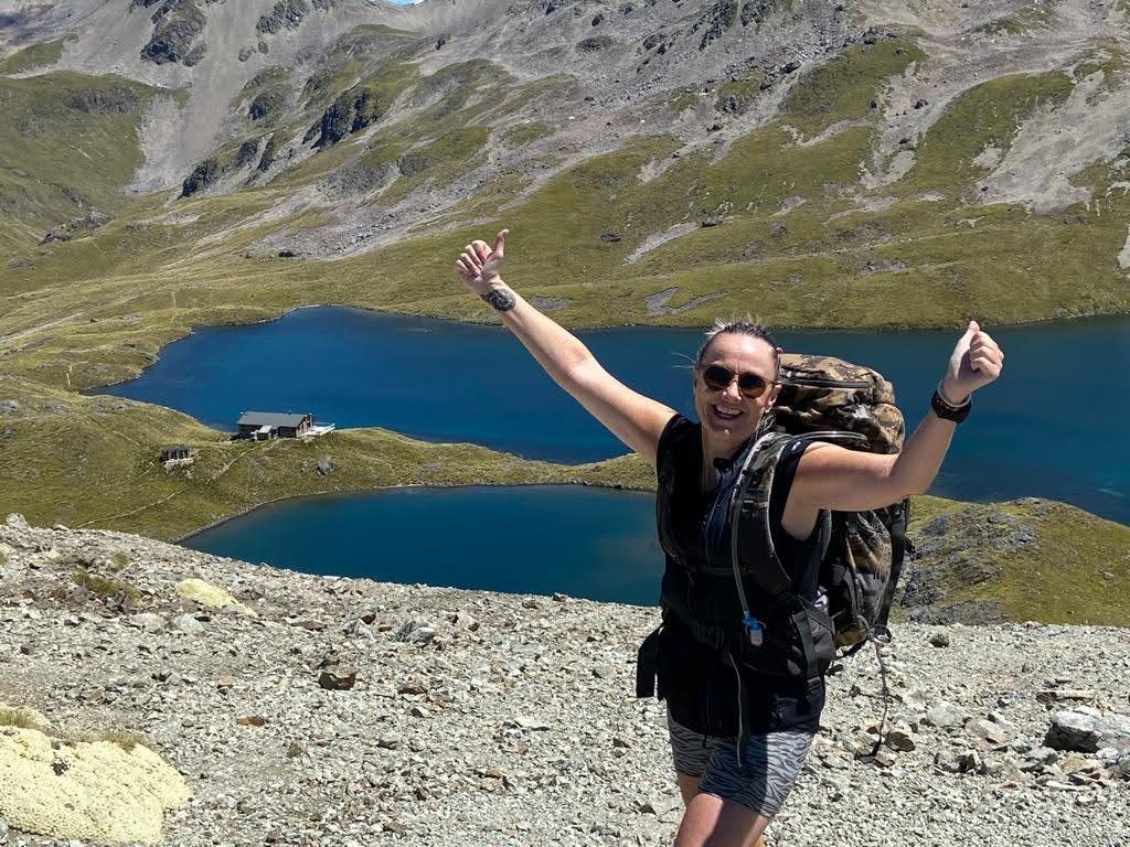
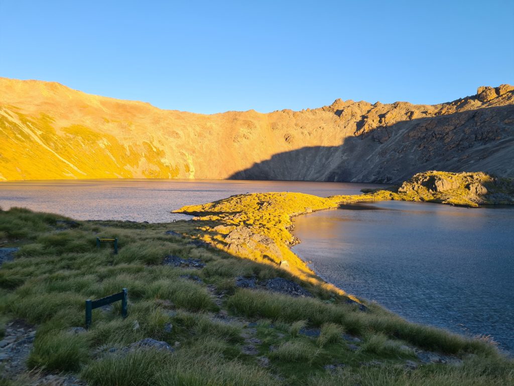
Angelus Hut sits at 1650 metres on Lake Angelus (Rotomaninitua) and is a welcome sight at the end of the last climb. You’ve still got a 10 minute walk ahead as you tackle the last zig zag section of craggy rock down to the Lake.
Down – Speargrass
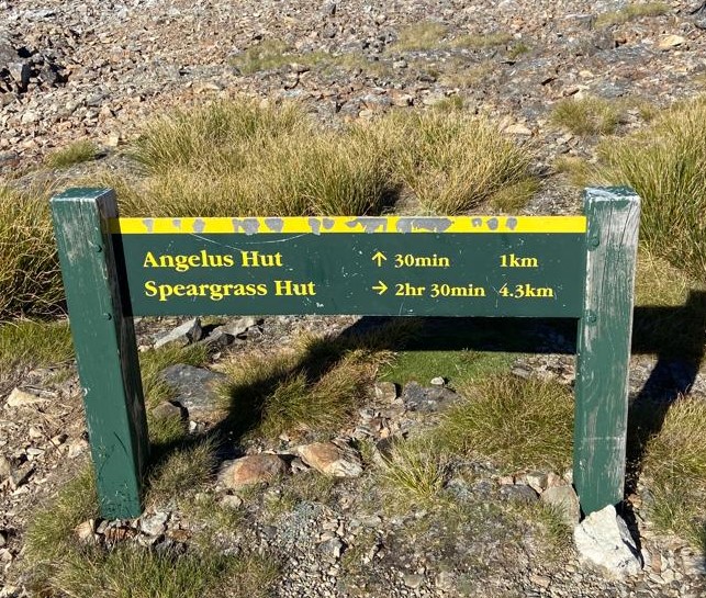
Climb back up out the way you came in from Angelus Hut and head off to the left to take the Grass Seed route. This route is downhill 90% of the way so be prepared for aching quad muscles.
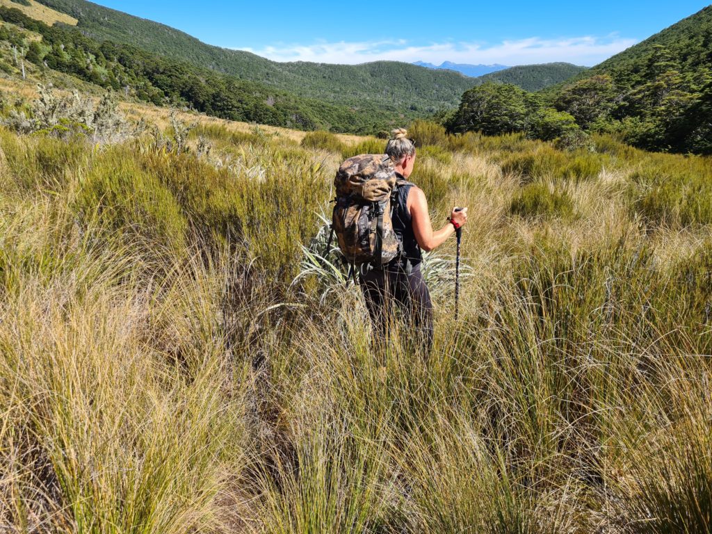
Initially you walk down tussock covered slopes with small creeks forming tiny waterfalls to your left and the ridge you crossed the day before behind you. The small creek becomes bigger and your first crossing of this will bring you onto a big scree slope. My poles kept me upright as I descended crab-like. Each sideways step sliding me along with the scree a bit further southward.
Next come multiple river crossings. I found this part quite fun as we tried to stay dry by navigating the best possible rock-to-rock crossing. Once again poles are a godsend here to assist with balance and leverage. Having said, that we both ended up falling, one in the river and one missing their footing getting to the river.
The rest was open tussock ground and then into the bush and a 5 min side trail to Speargrass Hut for a break and snacks.
A few more hours
The last part of the walk is through beautiful bush with a lot of descent still but a few short, steep climbs as well.
Then you’re at the end. Back where you began at the Mt Robert carpark.
Getting there:
Bus
There are bus services from Nelson to St Arnaud.
Car
Head south from Nelson, and about 1km south of Wakefield (which has a bakery that makes some of the best pies in NZ) turn left of the highway where the signs give you directions to Nelson Lakes.
Drive through the little township of St Arnaud past the Teetotal Campsite on your right and take the next left.
This road will bring you past a jetty on Lake Rotoiti. Carry on over a bridge and onto gravel road. You’ll pass one small car park to the right of the road, then climb to another bigger car park. Drive past that one and climb a bit further up to the final car park complete with Long Drop (toilet).

- As Rotomaninitua (Lake Angelus) is a sacred site no swimming is allowed but you can swim in the smaller lake beside it. The lake was not too cold for swimming, in January.
- Poles are a definite plus for making the walk that little be easier
- Carry in enough water for the almost 12km walk – there’s no water to be had along the ridge. Water is available within the hut (pumped up from the lake) but it has to be boiled)
- Take earplugs – the rustling of 14 people turning over in their sleeping bags throughout the night only adds to the snoring.


Leave a Reply